TECHNICAL CHARACTERISTICS:
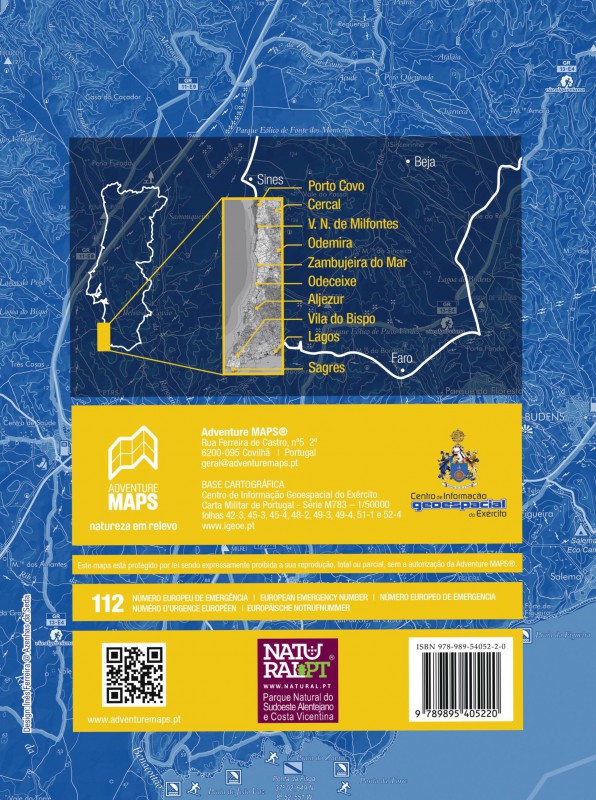
· Cartographic base CIGeoE - Geospatial Information Center of the Army
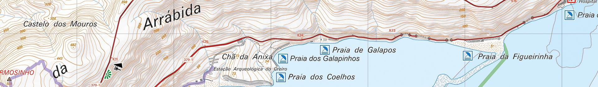
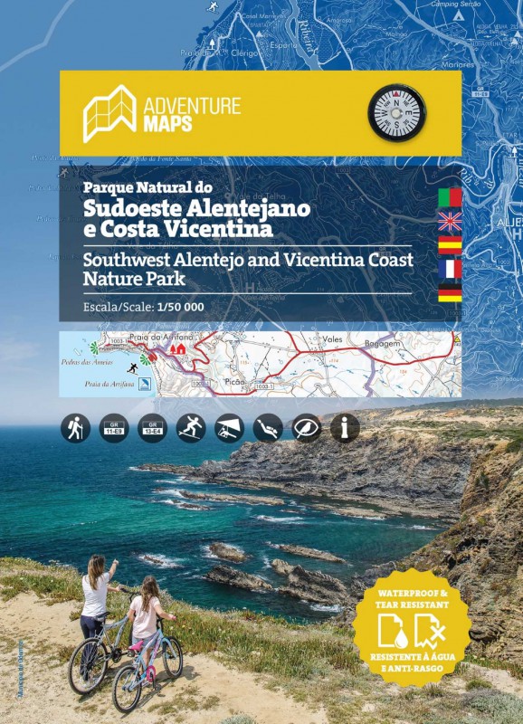
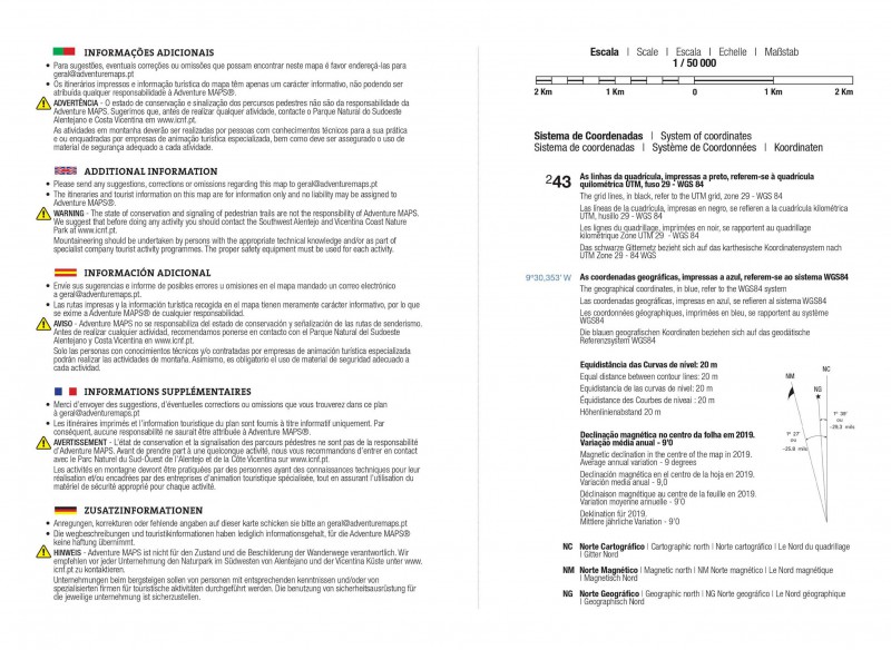
· Scale: 1/50 000 (1 cm = 500 m)
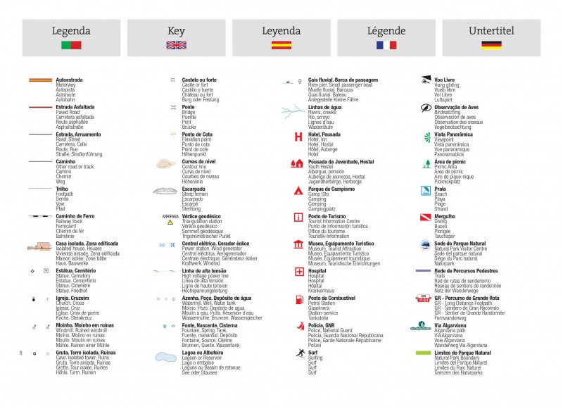
· Legend and Additional Information in Portuguese, English, Spanish, French and German
· Built-in magnetic compass
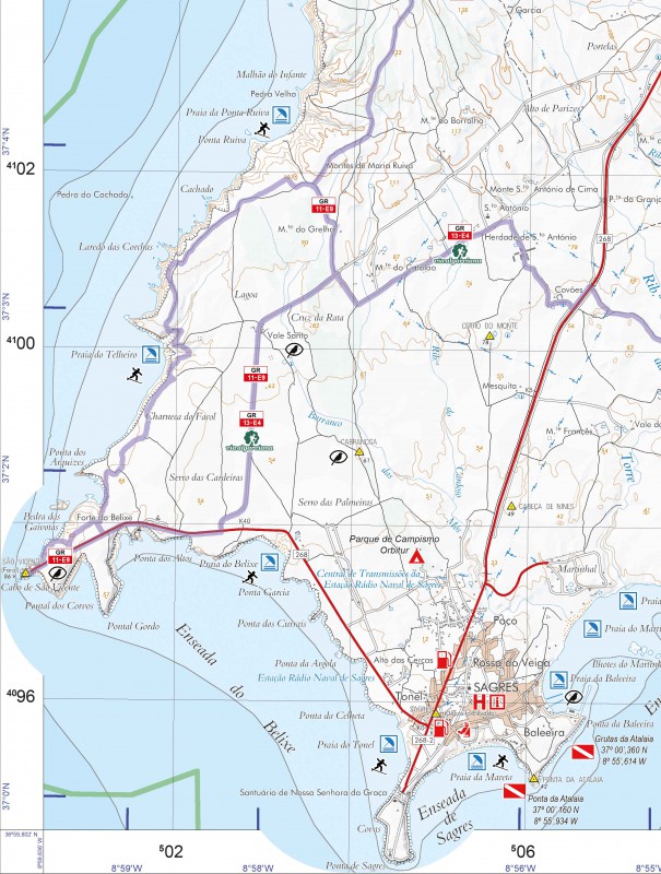
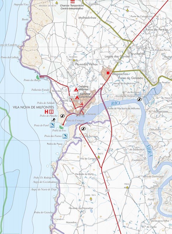
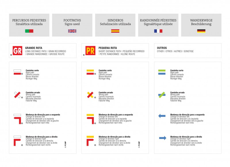
· Paths, GR(Long Distance Path) and PR(Short Distance Path) includes GR11-E9(Rota Vicentina) and GR13-E4(Via Algarviana)
· Tourist points of interest with symbols, Beaches, Panoramic Views, Picnic Areas, Museums and Tourism Stations
· Surfing, Bird Watching, Diving and Free Flying Spots
· Equidistance of contour lines: 20 m
· Bathymetry indicating depth
· UTM Quadricula with divisions of 2 Km(compatible with GPS)
· WGS84 coordinates (compatible with GPS)
· Representation of the magnetic declination
· Area to write notes (novelty)
· Open Dimension: 97,2cm x 67,2cm
· Folded Dimension: 22,4cm x 16,2cm
· Printing: double-sided with overlapping area
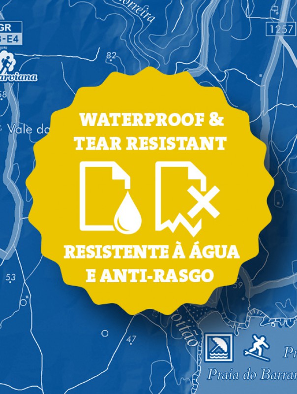
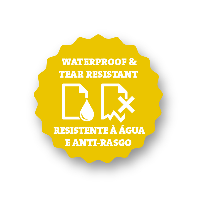
Synthetic paper waterproof and anti tear
"The Natural Park of Southwest Alentejano and Costa Vicentina - PNSACV occupies an area of 89,568.77 ha (60,577.25 ha of land area and 28,991.52 ha of marine area), with a great diversity of coastal habitats, including beaches, cliffs, isolated islets and rocks. The island of Pessegueiro, in reality a consolidated dune, is anchored just a stone's throw from the coast. On land, bushes and heathland alternate with irrigated and rainfed crops and production forests.
The vegetation here has Mediterranean (predominant), Atlantic and North African elements, with a rich terrestrial flora, with around 750 species of plants, more than 100 endemic, rare or localized, of which 12 only exist here, highlighting the areas of the Sagres and São Vicente capes. Also worth highlighting are the temporary Mediterranean ponds, a habitat very rich in biodiversity and, therefore, a priority in terms of conservation.
In this park there is a varied nesting bird fauna, particularly on the cliffs, with the white stork (Ciconia ciconia) building nests on coastal rocks. The southwest coast is an important passageway for thousands of birds, especially during autumn migration. Among mammals, the highlight is the otter (Lutra lutra), which shelters in the sea cliffs and adjacent ravines and, which is rare in Europe, uses the marine environment to carry out its fishing.
In the marine zone, the presence of diversified bottoms, the confluence of different bodies of water - Mediterranean and Atlantic (temperate and tropical) - and the outcrop of deep waters, rich in nutrients, contribute to the presence of high levels of biodiversity.
The constant presence of the sea and horizons as far as the eye can see, the majesty of Cabo de São Vicente, a sunset of the gods, the stories of Sagres and, above all, those enormous stone walls placed in front of the ocean, hiding or revealing small, large beaches and attractive fishing ports, complete one of the most solitary and attractive pictures on the coast of Portugal."
Text: INSTITUTO DA CONSERVAÇÃO DA NATUREZA E DAS FLORESTAS, I.P.
Portugal caminho do litoral - Fischerweg Portugal - Portugal mapa caminhadas - Costa Vicentina - Trilho dos Pescadores - Pescadores Trail - Rota Vicentina - Portugal Caminhadas - Portugal caminhadas mapas - bilhetes Portugal - mapas para caminhadas Portug