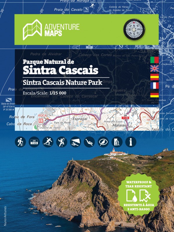
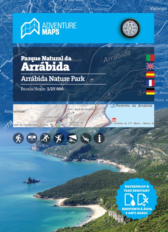

TECHNICAL CHARACTERISTICS:
· Cartographic base CIGeoE - Geospatial Information Center of the Army
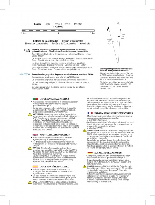
· Scale: 1/25 000 (1 cm = 250 m)
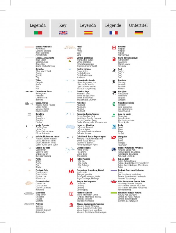
· Legend and Additional Information in Portuguese, English, Spanish, French and German
· Built-in magnetic compass
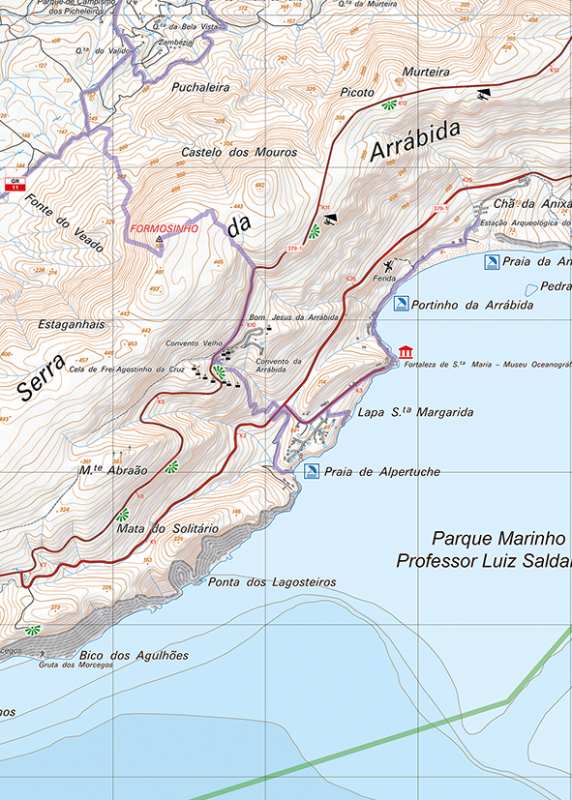
· Paths, GR(Long Distance Path) and PR(Short Distance Path), includes GR11
· Tourist points of interest with symbols, Beaches, Panoramic Views, Picnic Areas, Museums and Tourism Stations
· Climbing, Surfing, Diving and Free Flying Spots
· Equidistance of contour lines: 10 m
· Bathymetry indicating depth
· Gauss Quadricula with divisions of 1 Km
· WGS84 coordinates (compatible with GPS)
· Representation of the magnetic declination
· Open Dimension: 82cm x 68cm
· Folded Dimension: 20.5cm x 15cm
· Printing: double-sided with overlapping area
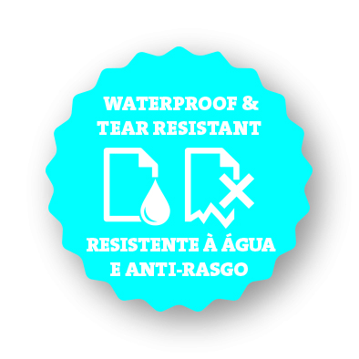
Synthetic paper waterproof and anti tear
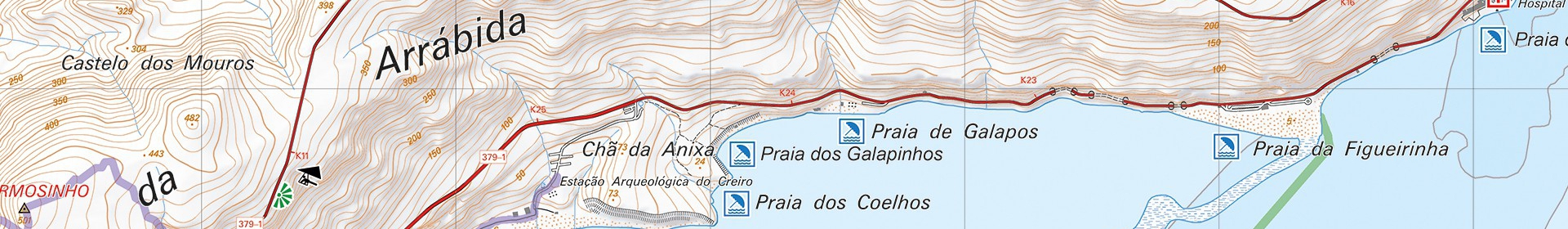
"The Arrábida Natural Park (PNArr), with 17,641.16 ha (5,310.62 ha of marine area and 12,330.54 ha of land), is based on a small limestone massif that falls over the sea in large cliffs - Píncaro, at the top of the Serra do Risco it reaches an altitude of 400 m - suggesting a wall facing the Atlantic cut by small coves and hiding small slivers of sand. It owes its name to the Serra da Arrábida (max. the Risco, S. Luís, Gaiteiros, Louro and S. Francisco mountains. 180 million years ago, when this mountain range began to form, this area was submerged, so the current morphology results from violent phenomena linked to tectonics and erosion.
The vegetation cover is characterized by the presence of Mediterranean floristic associations, with emphasis on the maquis - understory of the old forest - and the garrigue - low scrub - which represent a relevant botanical set. On the sheltered slopes facing south, the maquis takes on an arboreal appearance, giving rise to the Vidal, Solitário and Coberta forests (all Total Protection - access only for certain purposes and with prior authorization).
A large and varied flora and fauna are hidden in the Parque Marinho Professor Luiz Saldanha. On land, human occupation is attested by prehistoric remains, the seductive convent of Arrábida, farmsteads and sets of erudite and popular architecture.
Cheese from Azeitão, moscatel from Setúbal and honey from Arrábida are just a few more flavors to add to the many that the mountains offer. Superb views over the sea and a small cove modeled after a postcard, Portinho, complete a picture of great scenic value."
Text: INSTITUTO DA CONSERVAÇÃO DA NATUREZA E DAS FLORESTAS, I.P.
Parque Natural da Arrábida,Mapa topográfico Arrábida,Sesimbra,Setúbal,Palmela,Portinho da Arrábida,Percursos pedestres Arrábida,Hiking Arrábida,mergulho Arrabida