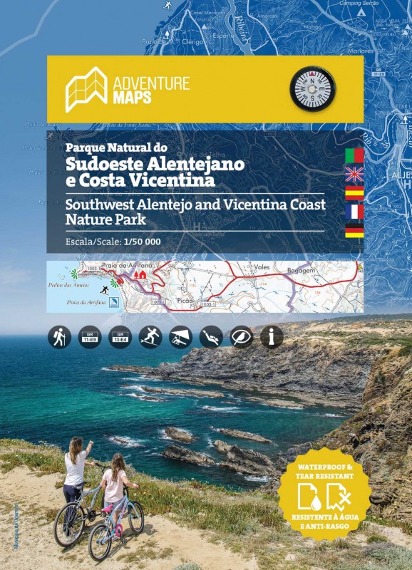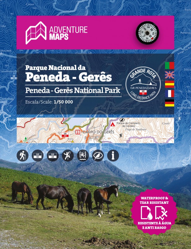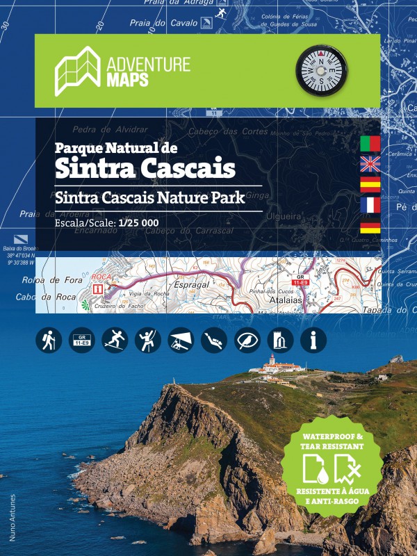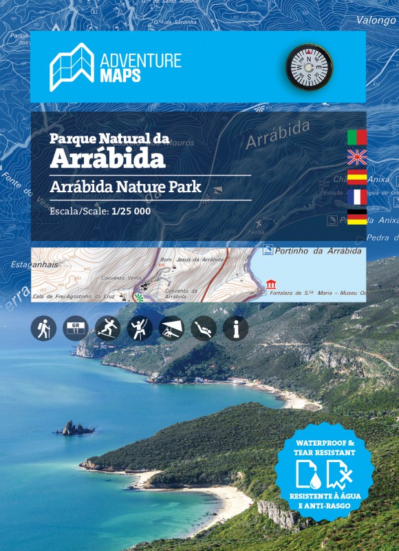


TECHNICAL CHARACTERISTICS:
· Cartographic base CIGeoE - Geospatial Information Center of the Army
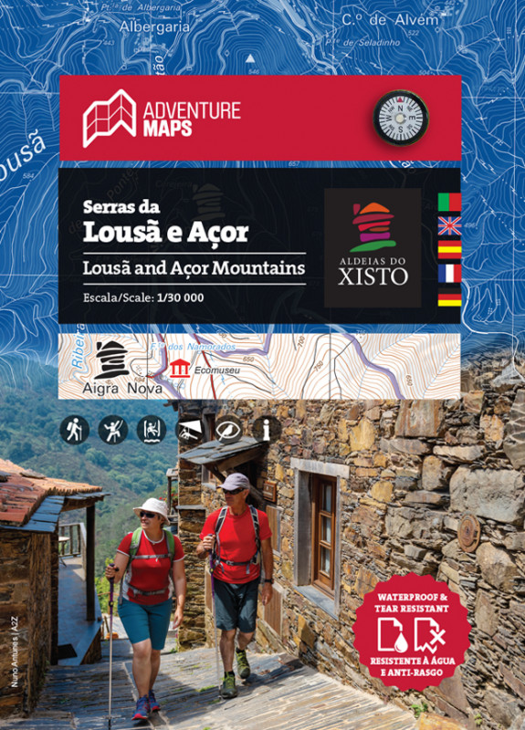
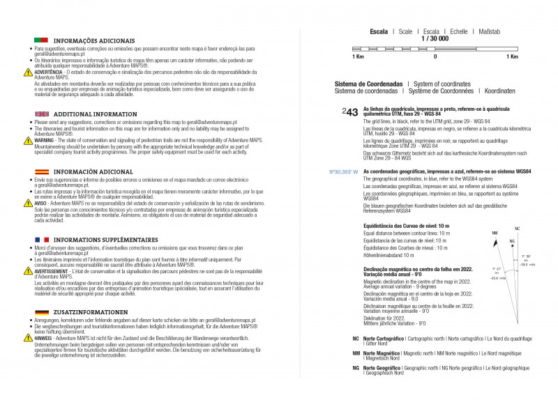
· Scale: 1/30 000 (1 cm = 300 m)
· Legend and Additional Information in Portuguese, English, Spanish, French and German
· Built-in magnetic compass
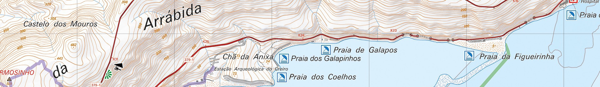
· Paths, GR(Long Distance Path) and PR(Short Distance Path)
· Tourist points of interest with symbols, Schist Villages, Campsites, Hotels, River Beaches, Panoramic Views, Picnic Areas, Museums and Tourist Offices
· Climbing, Bird Watching, Canyoning and Free Flight Spots
· Equidistance of contour lines: 10 m
· UTM Quadricula with divisions of 1 Km (compatible with GPS)
· WGS84 coordinates (compatible with GPS)
· Representation of the magnetic declination
· Open Dimension: 97,2cm x 67,2cm
· Folded Dimension: 22,4cm x 16,2cm
· Printing: double-sided with overlapping area
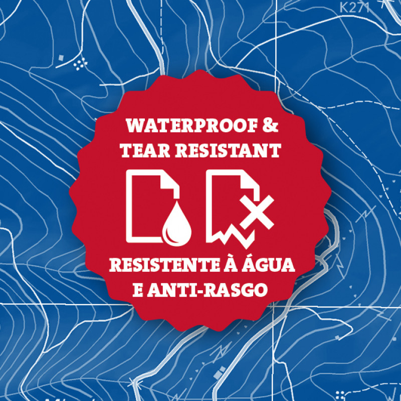
Synthetic paper waterproof and anti tear
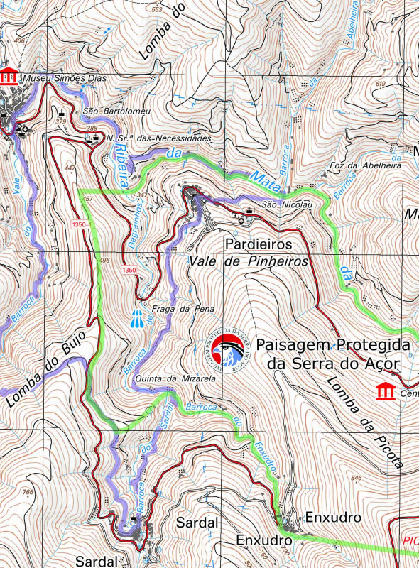
"Looking west from the southern end of the Serra da Estrela, one discovers a monotonous succession of rounded peaks that hide valleys with large drops in level and embedded water lines. At a turn along the path, unexpectedly, the Mata da Margaraça appears, mixed of Atlantic elements - oak (Quercus robur) and chestnut (Castanea sativa) - and Mediterranean - strawberry tree (Arbutus unedo), walnut tree (Prunus lusitanica) and laurel (Laurus nobilis) - housing rare species of flora – case of the Iberian endemism Veronica micrantha or Solomon's seal (Polygonatum odoratum) - constituting, due to its small size and insularity, a very vulnerable system. Mata da Margaraça is a testament to the forest that would have covered the schist slopes of the mountainous areas of the center from Portugal.
The water richness of the Serra do Açor Protected Landscape, with 373.39 ha, is associated with the presence of numerous reptiles and amphibians, as well as an interesting procession of passerines (aka birds), a dozen species of micromammals and many others of bats. Inside this protected area, a curious geological feature, Fraga da Pena, hides a waterfall flanked by leafy vegetation, a scene that never ceases to surprise in the Açor mountain range.
Pardieiros, the only village within this protected area, still retains the knowledge of manually manufacturing wooden spoons, while the terraces or quelhadas, separated by old schist walls, show the ancient agricultural use of the slopes."
Text:INSTITUTO DA CONSERVAÇÃO DA NATUREZA E DAS FLORESTAS, I.P.
Aldeias do Xisto, serra da Lousã, Serra do Açor, Góis, percursos, mapa aldeias do xisto, mata da margaraça, fraga da pena, paisagem protegida da serra do açor, fajão, ponte das três entradas